Summary
- Where: Glenfield Infant School and Beechwood Junior School area
- When: Initial perceptions survey July 2023
- What: Safer routes to school
- Why: To improve the local environment for residents, walking and cycling for local journeys.
Latest News
July 2024- COMPLETE!
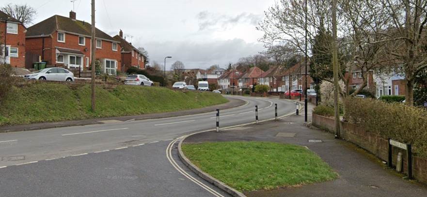
Work has now been completed on Mousehole Lane. Residents will now benefit from a brand new controlled crossing east of Glenfield Avenue, replacing the informal crossing point in this location.
This is great news for the whole community but in particular, pupils at Yarrow Heights School and at Charlton House Independent School who will have a safer crossing on their way to and from school.
Many thanks to residents for their patience while the works have taken place and to everyone who helped to make this happen. Please see completed image below:

March 2024
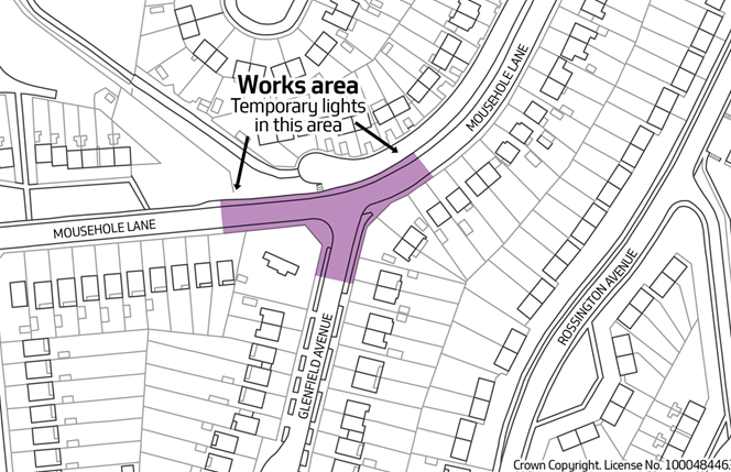
Work on the installation of a new pedestrian crossing on Mousehole Lane, near Glenfield Infant School and Beechwood Junior School, funded by the UK Government’s Active Travel Fund, is programmed to start from Monday 22 April 2024 and is expected to take approximately four weeks to complete.

The improvement works will include the installation of:
- A signalised push-button pedestrian crossing;
- High friction surfacing;
- The widening of the footway on the north-side of the crossing to increase visibility for all road users
December 2023
Following the public consultation earlier in the year, residents in the area of Glenfield Infant School and Beechwood Junior School are invited to comment on proposals to improve pedestrian access on Mousehole Lane, just east of the junction with Glenfield Avenue, with a new pedestrian crossing. These measures are part of the Safer Routes to School scheme, funded by the government’s Active Travel Fund.
November 2023
In July of this year, we asked for your views on road safety, in particular walking and cycling to both Glenfield Infant and Beechwood Junior School. We have now considered what measures could be introduced to address the concerns raised (see Previous Consultations opposite). Based on this response we are now working on a design for a signalised pedestrian crossing on Mousehole Lane, which will be shared in the coming weeks for consultation.
Project Details
This project will create an improved environment for walking and cycling in this area for local trips as well as joining wider Cycle network. This may include traffic calming to reduce the number of vehicles and ensure lower vehicle speeds. Measures will be informed through local consultation
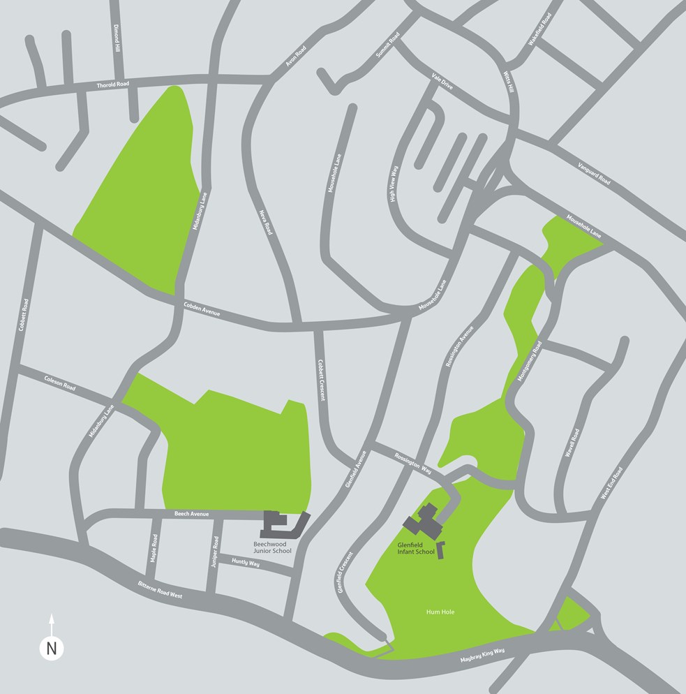
Map of area

